Land Research & the Kumawu Development & Investment Fund (KDIF)
Enhancing Land Administration, Transparency, and Governance for Economic Development
Overview
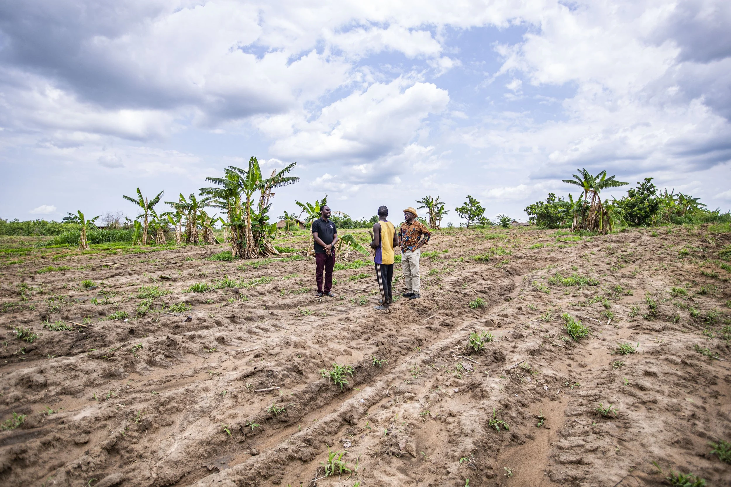
Led by Prof. Yaw Nyarko in partnership with the Kumawu Traditional Council, this project is advancing transparent, technology-driven land administration in Ghana. This project is taking place in the Kumawau Traditional Area of Ghana, which at 558,977 hectares represents about 2% of Ghana’s total landmass.
Our work is intended to strengthen local governance and address issues related to land distribution. We provide lease document preparation, dispute resolution, and facilitation of cadastral site plan acquisitions. We have also developed a platform called Webmaps to consolidate digital plots of land collected through a combination of mobile applications and drone technology.
Additionally, CTED helped establish three key institutions: the Kumawu Customary Land Secretariat (KCLS), the Kumawu Development and Investment Trust (KDIT), and the Kumawu Development and Investment Foundation (KDIF). Currently, all land leases, litigation, and documentation go through the Kumawuman Lands Management Committee, which is run through the KDIF.
-
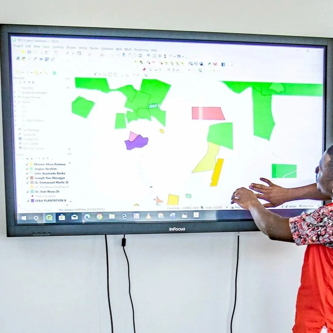
Leverage GIS Technology and Mapping for Informed Decision-making
-

Use Drone Technology to Collect Data on Aerial Imagery
-

Streamline Land Governance to Ensure Transparency and Accountability
-
Facilitate the Establishment and Management of a Recognized Land Secretariat
Our Collaborators