“Actors of Change in Africa: Human Capital and Markets.” Africa at a Fork in the Road: Taking Off or Disappointment Once Again?
In this paper I will be presenting two ideas that I think are critical to economic development. The two ideas are markets and human capital. I will argue that these two factors are often unappreciated in economic development circles—or, I should say, their importance relative to other factors is unappreciated. I will also discuss how, when given the opportunity, Africans have seized market opportunities, acquired human capital, and achieved major successes that are also often unappreciated.
Mobility, Human Capital, Remittances, and Economic Transformation
Migration and its related remittances is now an important feature of many economies,both the source countries and many destination countries. The flows are big in numbersand in economic significance. This paper is a distillation of research that has been andcontinues to be conducted in and around the question of migration, the brain drain, skillsaccumulation, remittances, and economic transformation. The chapter shows that thecombination of incentives to skills accumulation, remittances, and the return of betterskilled workers home result in many benefits and the potential for economictransformation in the source countries. This chapter will focus on Africa, althoughexamples will also be drawn from the Arab Gulf states and Asia.

Structure and performance of Ethiopia’s coffee export sector
We study the structure and performance of the coffee export sector in Ethiopia, Africa’s most important coffee producer, over the period 2003 to 2013. We find an evolving policy environment leading to structural changes in the export sector, including an elimination of vertical integration for most exporters. Ethiopia’s coffee export earnings improved dramatically over this period, i.e. a four-fold real increase. This has mostly been due to increases in international market prices. Quality improved only slightly over time, but the quantity exported increased by 50 percent, seemingly explained by increased domestic supplies as well as reduced local consumption. To further improve export performance, investments to increase the quantities produced and to improve quality are needed, including an increase in washing, certification, and traceability, as these characteristics are shown to be associated with significant quality premiums in international markets.

Revealing the Hidden Language of Complex Networks
Sophisticated methods for analysing complex networks promise to be of great benefit to almost all scientific disciplines, yet they elude us. In this work, we make fundamental methodological advances to rectify this. We discover that the interaction between a small number of roles, played by nodes in a network, can characterize a network's structure and also provide a clear real-world interpretation. Given this insight, we develop a framework for analysing and comparing networks, which outperforms all existing ones. We demonstrate its strength by uncovering novel relationships between seemingly unrelated networks, such as Facebook, metabolic and protein structure networks. We also use it to track the dynamics of the world trade network, showing that a country's role of a broker between non-trading countries indicates economic prosperity, whereas peripheral roles are associated with poverty. This result, though intuitive, has escaped all existing frameworks. Finally, our approach translates network topology into everyday language, bringing network analysis closer to domain scientists.

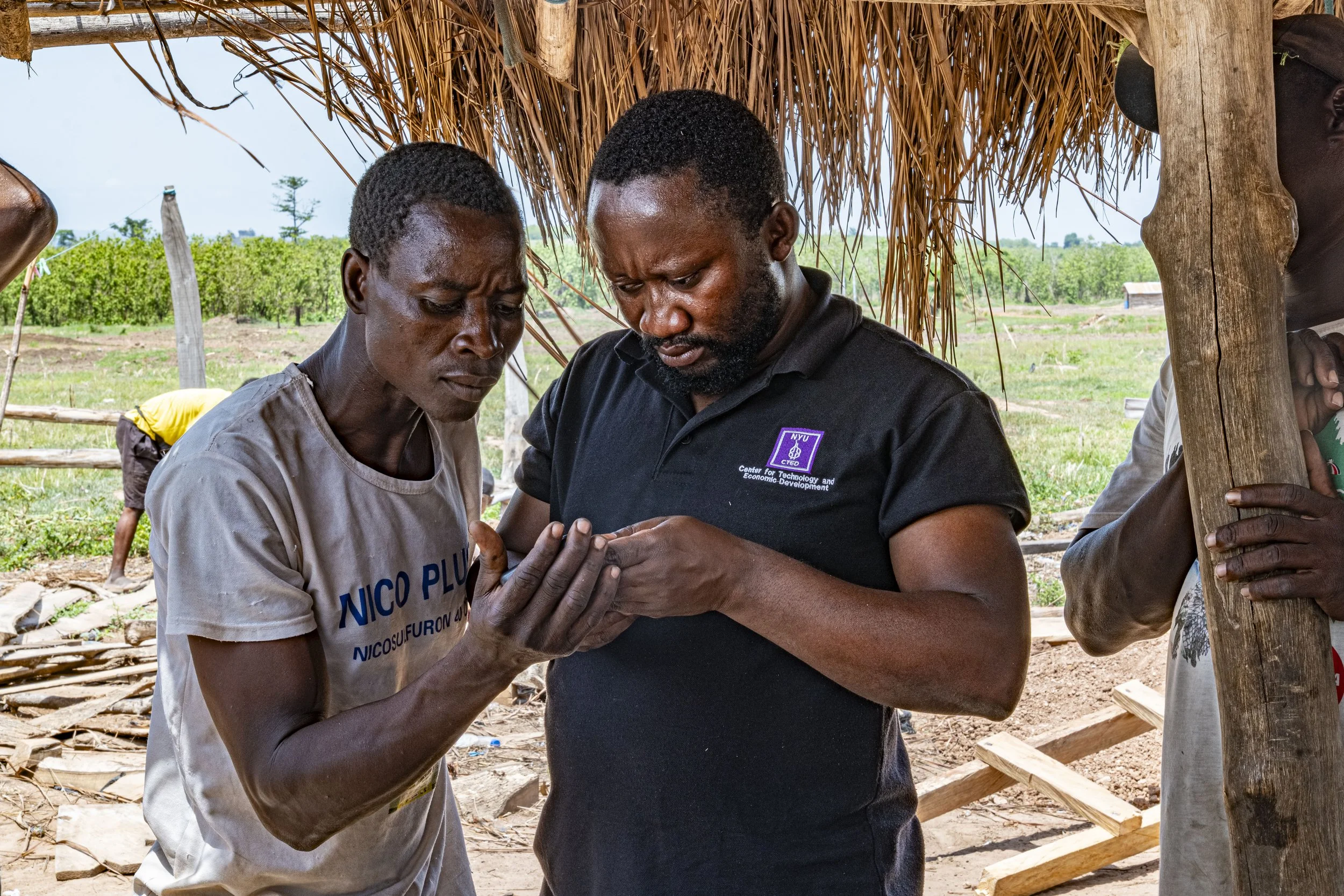
Experiences in Designing a Mobile GIS Mapping Tool for Rural Farmers in Ghana
The task of balancing problems associated with population growth and food production has often been impaired by a lack of accurate information on food supply availability in any given region or time. Such data has conventionally been gathered by legions of field workers who must travel to individual farms and collect information by hand. Predictably, data collection has been slow, error-prone, and difficult to maintain. There is therefore a need to develop tools and techniques that can quickly and accurately generate relevant and up-to-date information on food production. In this paper, we describe our experience in designing and implementing an Android mobile application (or “app”) that is capable of building GPS-based food production maps of a region. This hand-held app collects data as the user walks along the boundary of a farm. It records the user’s movement by tracking the GPS coordinates and subsequently constructs the boundary of the farm. The user has various options to enter key information about the farm, such as the crop that is currently being cultivated in the bounded region. The user can enter additional metadata through audio recording and photo capturing features of the app. We field-tested our app in the Hohoe Municipality of the Volta region in Eastern Ghana with local farmers and agricultural extension agents. Based on observations and user feedback from these repeated trials, a revised version of the app was deployed in Hohoe, in April 2013. Here, 11 farmers were recruited as data collectors, including local leaders of community Farming Based Organizations (FBOs) and Ministry of Food and Agriculture (MOFA) Agricultural Extension Agents (AEAs). After using the app for 10 days, 201 farm boundaries and numerous other observations about the farms were collected from the municipality and uploaded to a remote server for further analysis. From this aggregated information, we were able to collect a snapshot on the current agricultural practices and productivity of the region.

Sustaining High Economic Growth in Sub-Saharan Africa: Knowledge and the Structure of the Economy
This paper discusses the role of knowledge and the structure of the economy in sustaining high economic growth, with an emphasis on SubSaharan Africa. A model of growth, involving learning from different activities, is proposed. Within the context of that model, a discussion is provided on some of the recent issues and debates around structural change of economies, and in particular on the measures for measuring the change. Special attention is placed on the recent measures such as Hausmann et al.’s (2007) EXPY and Lall’s (1998) technology measures and the popular Herfindahl and Revealed Comparative Advantage measures used for analysing the change in export mixes.

Computing the Rate of Disappearance of Cropland Using Satellite Images
Croplands worldwide are in decline. Degradation of arable land is a cause for concern, especially in developing countries where agriculture, including subsistence farming, makes up a significant percentage of economic output. In developing regions, urban population is increasing, leading to expansion of cities and development of new cities or townships. Often these expansions are done on arable lands. Apart from urban expansion, industrial developments are often done on agricultural land [2012]. All these result into acquisition and loss of arable lands. On many occasions, these acquisitions are unplanned and unauthorized. Such loss of arable land can have huge impact, particularly for agrarian economies. Not only it can affect the lives and livelihoods of the population who are directly dependent on agriculture, it can directly impact food security due to reduced production. Apart from human-led development, changing climate is also leading towards a change in the land pattern. There are reports of Sahara desert expanding southwards in an alarming rate [2012], loss of land in low lying coastal areas due to rising sea level etc. In both the two scenarios described above, a solution to the problem can be a monitoring tool, which can identify the change in land pattern over the years. In this paper, we present a tool that can monitor this change through satellite images. Google Earth (GE) offers a huge corpus of satellite images across the globe. GE has the current image of a location, as well as an archive of older images of the same places. Given a location or a geographical area, our tool can access the latest available satellite image in addition to earlier images available and classify the images, as cropland, developed, forest or barren. Following this classification process, the tool computes the total amount of change of pattern in the region and also the type of change (e.g. crop land changed to developed land etc.). Figure 1 shows some GE images depicting the loss of vast open land over the years in 2 African cities. This figure also explains how GE images can be used to detect such changes. Similar approaches can be seen in various fields, like famine and agriculture [Quinn et al, 2010][Nivens et al, 2002], environmental changes to detect outbreak of diseases [Ford et al, 2009] etc. In our case, we used raw photographs taken from the satellites from a freely available source with extensive coverage. This makes the approach much more scalable.

Consequences of increased longevity on wealth, fertility, and population growth
We present, solve and numerically simulate a simple model that describes the consequences of increased longevity for fertility rates, population growth and the distribution of wealth in developed societies. We look at the consequences of the repeated use of life extension techniques and show that they represent a novel commodity whose introduction will profoundly influence key aspects of the economy and society in general. In particular, we uncover two phases within our simplified model, labeled as ‘mortal’ and ‘immortal’. Within the life extension scenario it is possible to have sustainable economic growth in a population of stable size, as a result of dynamical equilibrium between the two phases.

Valuing Mortgage Insurance Contracts in Emerging Market Economies
We develop a new option-based method for the valuation of mortgage insurance contracts in closed form in an economy where agents are risk neutral. While the proposed valuation method is general and can be used in any market, it may be particularly useful in emerging market economies where other existing methods may be either inappropriate or are too difficult to implement because of the lack of relevant data. As an application, we price a typical Serbian government-backed mortgage insurance contract.
Our Collaborators